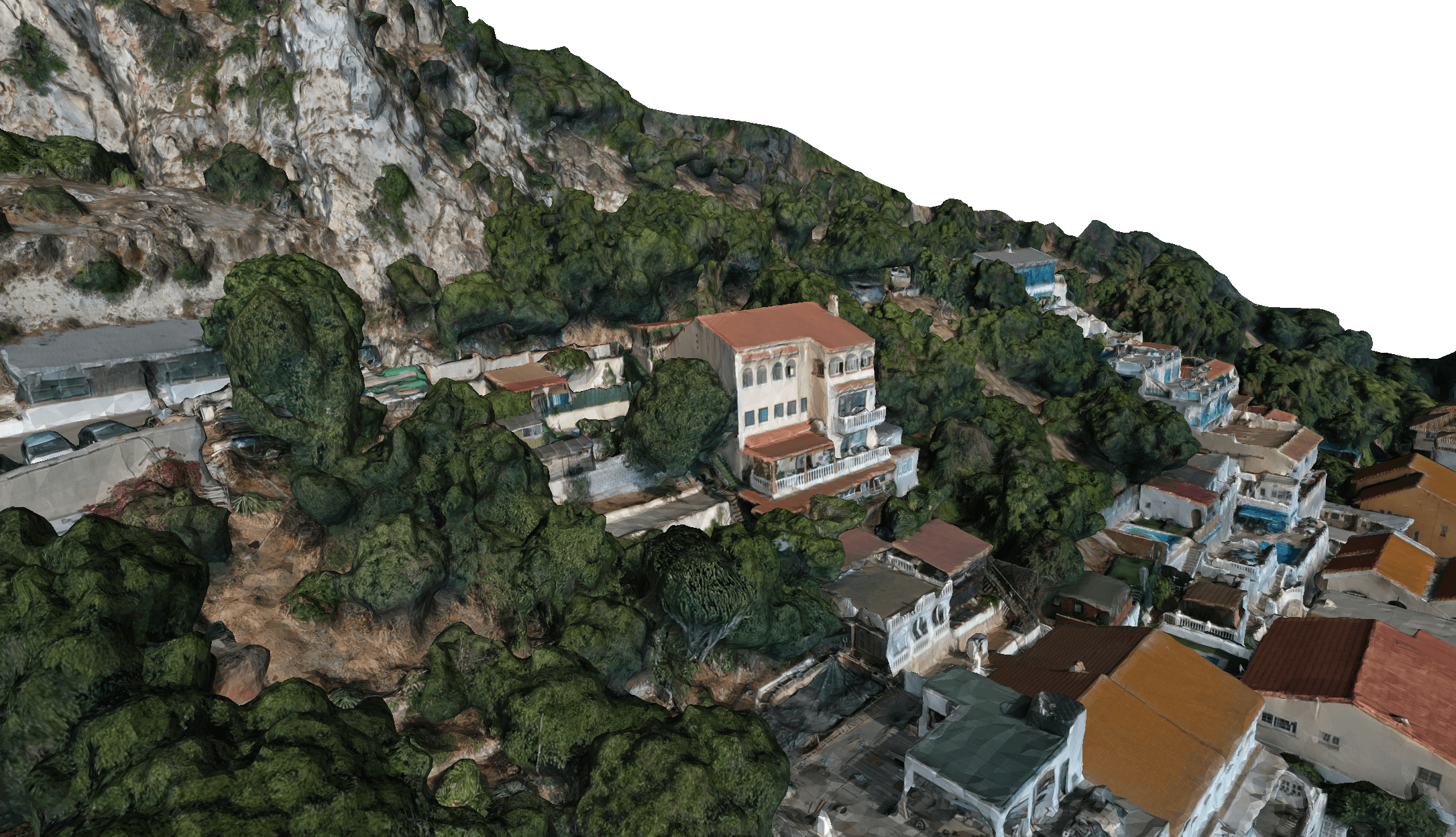
Contracted to take pictures of a property wanting to apply for planning permission. The requirement was for some aerial photographs and panoramas to show the area, but also some 3D modelling of the area that was going to constructed on.
This project presented some difficulties due to the high incline of the rock. To get detailed 3D maps, the drone has to fly at stable altitudes and shoot the location from hundreds of angles.
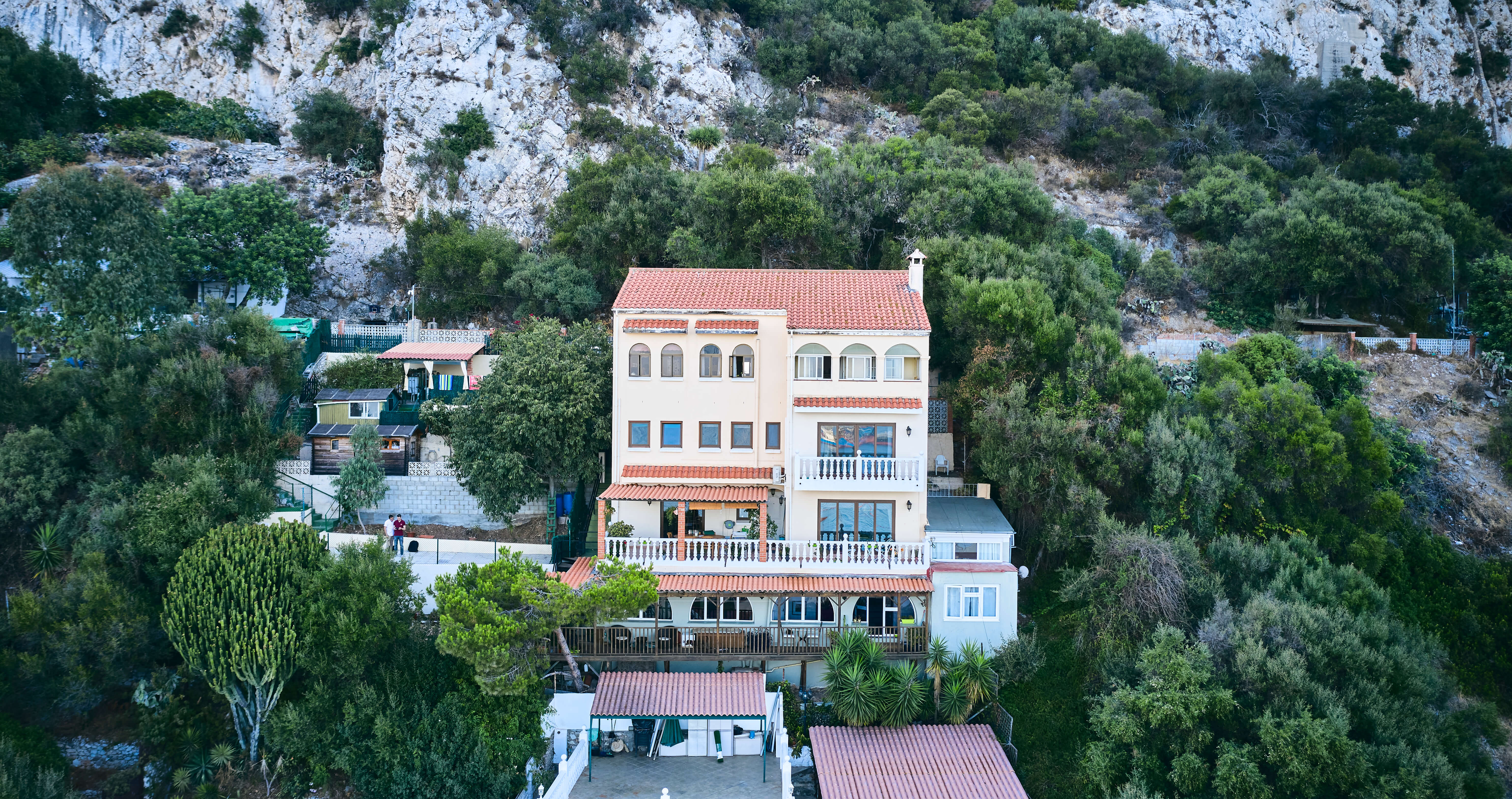
Taking the standard aerial photographs was not a problem as the drone could easily get into the right position with altitude and angle that was required.
The mapping required a course to be mapped out with the drone flying at a continuous altitude and with the camera angled at 35 degrees downward. The outcome was over 300 images which when used with software generated a full 3D map.

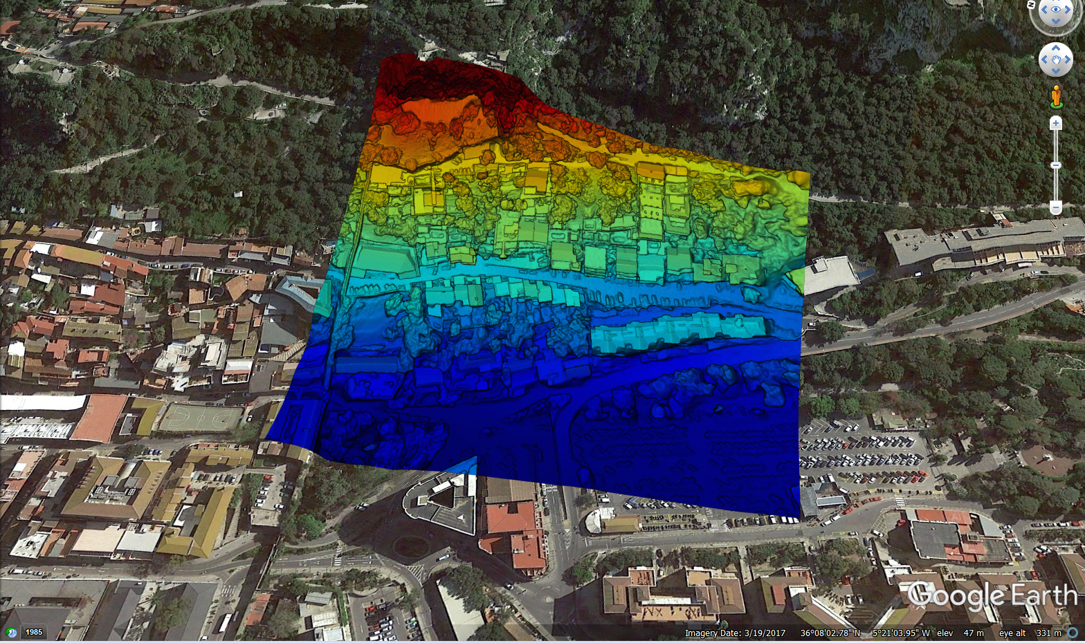
Another useful output from the 3d mapping is the ability to take measurements such as elevation mapping and measuring the level and health of surrounding greenery in the mapped area.
These can be used in isolation or they can even be incorporated into 3rd party programs such as google earth as an overlay.